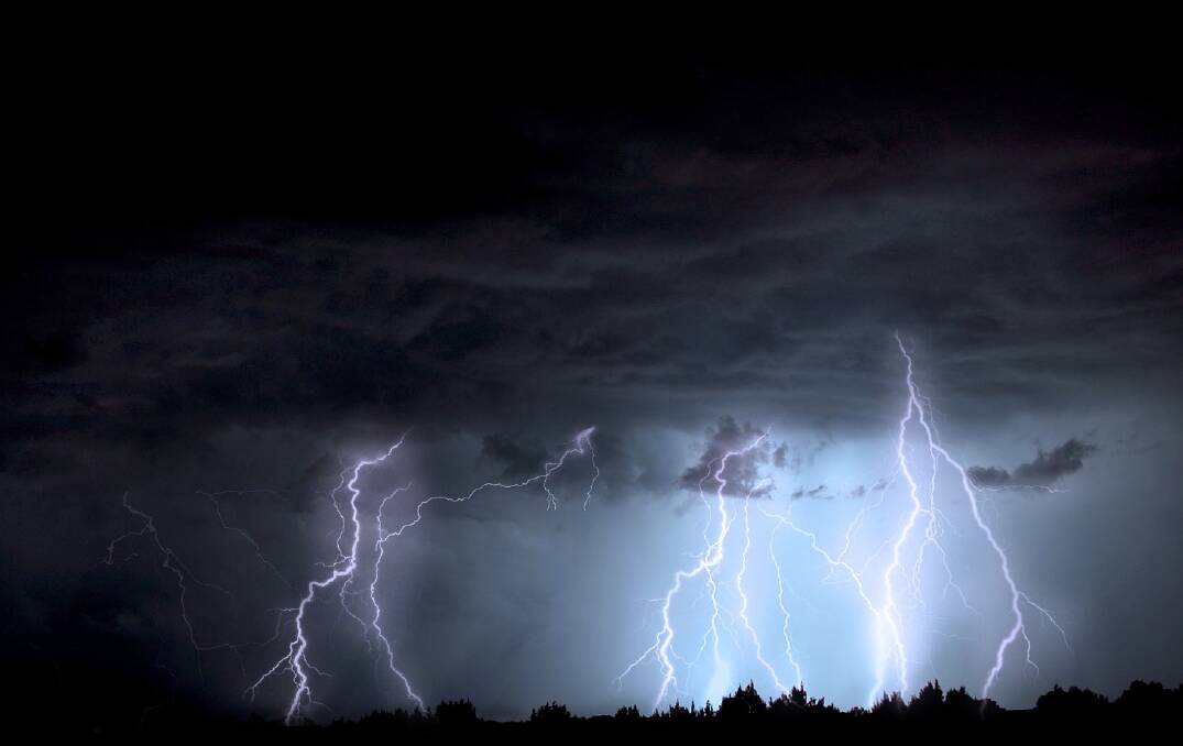
PARCHED backyards and paddocks around the Redlands received a much needed drink during Tuesday's bout of thunderstorms.

Good rainfall totals were recorded at places like North Stradbroke Island (7mm), Capalaba (4.4mm) and Mount Cotton West (4mm) over the last 24 hours.
The bad news is the Weather Bureau does not expect thunderstorm activity to continue until temperatures increase during October.
"For storms you need moisture, instability in the atmosphere and a trigger," a Weather Bureau spokeswoman said.
"On hot days the heat is often the trigger so that allows warm air to move upwards and you get vertical motion and storm initiation."
There is the possibility of thunderstorms tomorrow but they are likely to form further inland and are not predicted to bring much rain.
A shower or two is forecast for most parts of the Redlands on Friday but there is an even money chance they will not eventuate.
A Weather Bureau spokeswoman said the end of next week was the best chance of shower activity, with models hinting that some decent rainfall totals could be on the way.
"We would treat that with caution though because it is quite a long way off," she said.
Read more local news here.

